Minidoka National Historic Site

Barely two months had passed since the Pearl Harbor attack when on February 19, 1942, President Franklin D. Roosevelt issued Executive Order 9066. This order forced the relocation of 110,000 people of Japanese ancestry to ten prison camps scattered across the United States. Two-thirds of these civilians prisoners were American citizens. They were stripped of their freedom, businesses, homes, and personal property without due process of law. The Minidoka War Relocation Camp was one of these prisons.


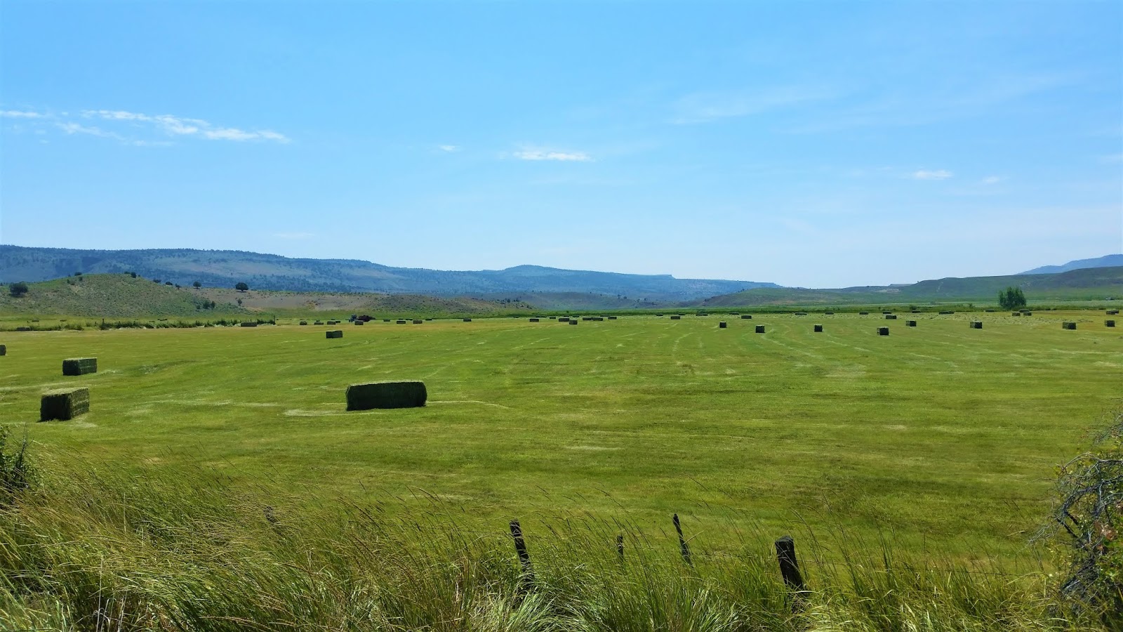
Located in the remote high desert, approximately 17 miles northeast of Twin Falls, Idaho. The Minidoka camp was a 33,000-acre site where over 13,000 civilian men, women, and children were held. They were not guilty of a crime, but they looked like "the enemy." The camp reached a peak population of 9,397 on March 1, 1943 and was the 7th largest "city" in Idaho. Very little of the original installation remains.


The Minidoka National Historic Sight is managed by the National Park Service. The Park Service works to preserve what remains of the original camp as a solemn reminder of government policies' impact on citizens. Near the entrance a reconstructed guard tower stands watch over the parking lot and not far from the remains of the original military police building.


While the camp was in operation 5 miles of barbed wire fencing and eight guard towers surrounded the prisoners. Living conditions were primitive with pit toilets when the first prisoners arrived. The living quarters were long wooden and tar paper barracks divided into six "apartments."


The Idaho summers were very hot and dusty as the prisoners farmed the local desert to grow sugar beets and produced enough food to share with other camps. The people here also organized schools, churches, and barbers shops. Winters were cold and windy with little comfort for those denied their rights and forced to live in such substandard conditions. 


The day we visited was sunny and warm, making for a nice walk along the 1.6 mile self guided tour with very informative historical information posted in many places. The signs detail the lives of the people once held here. But, the nice weather did not dispel the quiet and lonely feeling out here with the wind whistling across barren fields.


Along the walking tour a few bare concrete slabs and crumbling foundations show where the original buildings once stood. Continue following the path as it parallels a gravel road and you will find the Visitor Center. The building looks like a house, but inside are many many interesting pictures and informative displays.

"I want to forget the day we were herded into a prison camp. What did we do wrong? What was our crime?" -Sylvia Kobayashi


The camp officially closed October 28, 1945 and was listed in the National Registry of Historic Places on July 10. 1979. Today, it remains a stark reminder of a dark period in American history. A time when the nation fought to defend the same values and rights that were denied the innocent prisoners held here. The site is worth visiting, and learning it history so that future Americans will not repeat the mistakes of the past.  

Crater Lake National Park

Crater Lake National Park, located in southern Oregon was established in 1902. This jewel of the pacific northwest was a  long time "must visit" destination for me for a variety of reasons. The lake inside of an ancient volcano intrigued me. In addition, the area has a long history of mysterious disappearances, bigfoot sightings, Native American legends, and other weird reports. I don't know if any of those tales are true, but I like thinking there are still mysteries left in the world.


I entered the park through the north entrance and followed the signs. During the 9 mile ride to the Rim Drive junction I was surprised by how quickly the temperature dropped with the higher elevation. Earlier that day, I had sweated in 90 degree sunshine at La Pine, just an hour north of Crater Lake. I soon reached the Rim Drive highway, a 33 mile scenic drive that winds its way around the entire caldera. The scenery is fantastic, but the road is only open in summer months due to heavy snowfall in winter.


The lake glistens at an elevation of 6,178 feet, where the temperature was in the forties. The caldera surrounding the lake ranges from 7,000 to 8,000 feet in elevation and even in mid July there were many patches of snow lingering in the park. The sun continued to slide down in the western sky and the temperature dropped with it. My hot weather riding gear felt a bit thin and I guessed it would be a cold night for campers in the park.


Crater Lake formed when the ancient volcano Mt. Mazama violently erupted and collapsed. Over several centuries rain and melted snow filled the collapsed volcanic caldera and created the lake. The icy water plunges to a depth of 1,949 feet at it's deepest point, making Crater Lake the deepest lake in the U.S. The vibrant blue water surrounded by the rugged Cascades that recede into the distance is a beautiful sight. I had plenty of time to stop and read the various National Park Service signs describing the volcanic history and geology of Mount Mazama, and how the volcano had collapsed to create the caldera which forms Crater Lake.


Wizard Island is an ancient volcanic cinder cone that rises approximately 750 feet above the western edge of the lake. After the violent eruption which led to Mount Mazama's collapse, a series of smaller eruptions created this cinder cone. During summer months, boat tours of Crater Lake stop at the island. Visitors may go ashore to explore the two hiking trails and the crater at the top of the cinder cone. I would love to take the boat tour next time I pass through the park and have a little more time. 


The late afternoon sun cast a dark shadow of the western wall of the caldera wall and soon it extended to Wizard Island. I arrived in late afternoon, early evening on a Saturday and was surprised at the number of families, tour groups and mini vans that circled the Rim Drive. The road is popular in part because of the many convenient pull offs that allow photographs of the lake from many directions.


Darkness was closing and a cold night was setting in when I fired up Dora the Explorer and headed out of the park. I wish that I had week to spend here. Maybe I had read too much on the mysteries and mythology of Crater Lake, but I felt there is something special and dare I say "mysterious" about this place. One thing is for sure, I will be back again and maybe I will find out!

Fort Rock State Natural Area Oregon

A couple of years ago I ran across an article on Oregon's Fort Rock in a travel magazine. I had never heard of the place, but exploring an ancient volcano sounded fun to me. I started planning a  visit to Fork Rock and this was the summer I finally arrived. But that's getting ahead of things...


I rode out of Burns, Oregon on Highway 20 across the the wide open high desert. At Riley, I turned south on two lane Highway 395 till I reached the former town of Wagontire. I knew the cafe and gas pumps were closed, but I stopped to stretch my legs. Nobody was around except a curious dog who came out and looked me over. I tried to be friendly, but he kept his distance and soon wandered away.


After the break, I continued south on 395 and then turned west on Christmas Valley Road. This two lane blacktop runs through more brush covered desert to the small town of Christmas Valley where I filled up at the Chevron. I continued west and soon reached my destination, Fork Rock State Natural Area which is part of the Oregon State Park System.


It may not look too exciting from here, but let me explain. Fort Rock is a "tuff ring." It is the remainder of an prehistoric volcano that exploded under the ancient inland sea that once covered Oregon. A series of these explosions built up the ring into islands above the sea and when the water vanished, Fort Rock was left behind.


Despite the name Fort Rock, this volcanic formation was never actually a fort in the military sense. Still, the jagged, rock walls that tower 200 feet over the surrounding dry lake bed resemble the walls of a fort and can spark your imagination. 


The scenery is beautiful and the history is amazing. Native American sandals dating from approximately 10,000 years ago were found in a nearby cave. These are evidence of some of the earliest humans in North America.


In the relaxing quiet while exploring the natural lava formations inside the immense rock walls, I wondered what the ancient people who once lived and visited here would think of this world today. Certainly, they could never have imagined it. 


The day I visited was sunny and hot. The ground was baked rock hard and very dry. It was difficult to believe an inland sea had existed here. Still, a variety of life flourishes in these harsh conditions including birds, bats, "packrats" and larger predators such as coyotes.


Fort Rock is an easy day trip from Bend and along with its history, you'll find a nice covered picnic area with several picnic tables, modern bathroom facilities, and a large paved parking area. I would liked to have stayed longer, but was glad to have finally visited. There is never enough time to see and do everything on the road and I needed to get on to my next stop, Crater Lake National Park.

Eight Days On the Road In Orgeon

Here's an overview of our fantastic eight day, 1,739 mile, road trip up the Oregon coast and across the state on the R1200GS. The many stories and stops to tell about are just too much for one post. So, I'll be writing a few posts on this trip, but for now, I will begin at the beginning.


I left on a Friday morning planning to be in Crescent City, California by Saturday evening. Nikki was already in Crescent City staying with family. Our plan was to meet up and ride Highway 101 north along the Oregon coast. We had camping reservations at Newport and Cannon Beach. Next, we would ride through Portland and then back to Idaho. The week we had planned for this seemed like plenty of time.


On my first day of solo riding through barren the expanse of eastern Oregon, I visited Fort Rock and Crater Lake National Park. The long day of riding ended in Grant's Pass, Oregon. On Saturday, I passed through the redwood forests of northern California and arrived in Crescent City as planned.


On Monday morning with beautiful sunshine overhead, Nikki and I headed up the coast with Newport, Oregon as our destination. Along the way we had crab for lunch and spent some time at  Oregon Dunes National Recreation Area. By evening we had reached Newport and we camped overnight at South Beach State Park.


The following day we continued north toward Cannon Beach and the famous Haystack Rock. By the time we reached the camp ground that evening, we were talking about going further north. We had heard many good things about the city of Astoria and being so close, it was difficult to pass up the opportunity for a visit.


After camping at Cannon Beach, we rode north to Astoria and crossed the Astoria-Megler bridge into Washington. This was our finish to traveling the entire Oregon coast on Highway 101. Astoria was everything we had heard, and more. We visited as many sights as time allowed. Then with the late afternoon sun sliding down toward the Pacific, we headed east on Highway 30 to I-5, then down to Portland.


After Portland we continued east with several stops to see the many beautiful waterfalls along Highway 30 in the Columbia River gorge. After a brief stop at Cascade Locks and the Bridge of the Gods, we kept heading east and reached the historic town of Pendleton just after dark. We had planned to return home the following day, but plans change.


We were having a great time on the road and neither of us wanted the trip to end. We took most of a day seeing the sights of Pendleton and rode on to Baker City where we spent another night. After the Baker City stop we reached home the following afternoon, tired, but wishing we had more time to spend on the road.   

Independence Day on the Road


Summer was nearly half over and we were excited to leave town for the long weekend. Nikki and I planned an easy ride through eastern Oregon with a camping stop over in the small town of Burns. I looked forward to good riding in warm sunshine since all of my previous rides through Oregon were cold and rainy. I seriously wondered if Oregon ever had nice weather.


We headed west from Ontario with blue skies and bright sunshine. Dora, the R1200GS, hummed along perfectly as the green country side rolled by. We passed through Vale, where you may be tempted to stay at the Bates Motel. It's not the actual murder scene from the movie "Psycho" but you can have fun and maybe impress your friends with a selfie.


Juntura (Spanish for Juncture) was our next stop where unfortunately the Oasis Diner was closed for the holiday. We'd heard good things about their breakfasts, but will have to find out the next time we pass this way. Nikki and I made due on granola bars and water for a snack, while I indulged my passion for photographing abandoned buildings.


After a few pictures, we were on the road again and reached Burns just in time for a delicious plate of grilled ribs with all of the trimmings. Representatives of the Burns Paiute Reservation were serving food right on the street to raise funds for their fall pow-wow. We like to support good causes and for just $10 we had more good food than we could eat!


By mid afternoon we arrived at the Burns RV Park located on the edge of town. The campground is small, but clean and was surprisingly quiet for the weekend. We had reserved a tepee for some Native American style camping, but our plans suddenly changed. We soon discovered that hornets had already moved in and built several nests long before we arrived. The campground manager apologetically provided a cabin for us and we finally relaxed after several hours on the road.


That evening we went out for some dinner and saw the fireworks display in Burns. I had not expected so many mosquitoes in Oregon! Good thing Nikki had thought to bring the bug spray before leaving home. After the show, we headed back to the campground for the end of a great Independence Day of food, fun, and riding.


Pro Tip for the JetBoil Flash

I love the Jetboil flash cooking system. This product has been around a while, and is popular with backpackers, hikers, and campers. If you are not familiar with it, this small, portable, stove can boil a couple of cups of water in a few minutes. It works great for coffee, tea, and instant meals that need boiling water. Just remember to keep the fuel canister warm.


If you leave the fuel outside on a cold night, you have great difficulty lighting the burner the next morning. Nothing worse the than starting the day with frustrated and without coffee. To avoid this, I put the fuel canister in the bottom of my sleeping bag. Body heat will keep it warm so that in the morning you get your coffee without waiting. You can also, put it under you arm pit a minutes to warm it up. Works everytime!f

KLX400 Riding Hemmingway Butte


This was my first off road ride for the 2017 season. The Little Green Monster, my KLX400 performed flawlessly. I started off slow but.improved as the day went on. 


Near the end of this clip, I missed a shift climbing a rocky hill and laid the bike down. It was a struggle to get it up again. Then I backed down the hill a little and mistakenly positioned myself on the downhill (wrong) side of the bike. Like I said, it was a bit of a struggle, but stubborn determination won out and I eventually got going again.


At the end of the day, I was tired, the bike was filthy and it felt great to be out riding again. I love riding Little Green, the bike handles everything I throw at it and makes me look like a better rider!